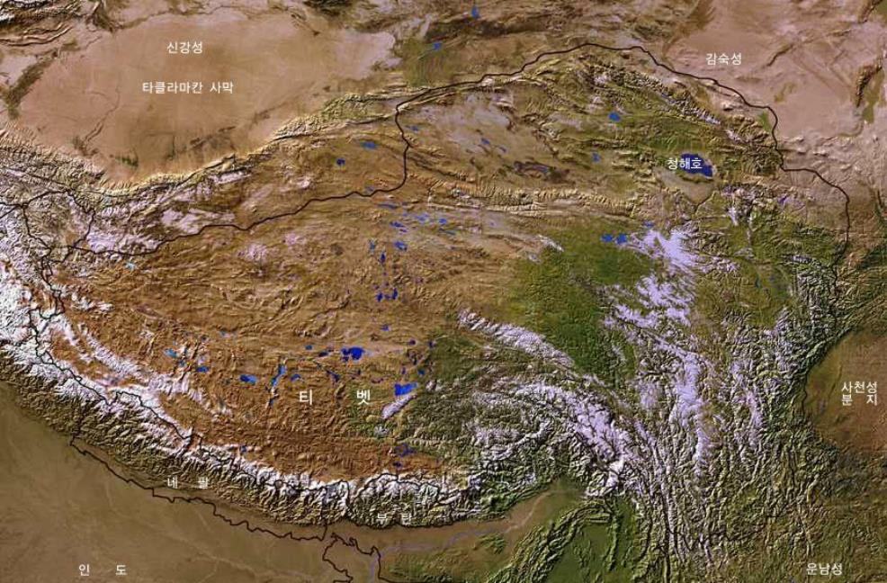
For your reference the Map includes the location of current National Borders and Provincial Borders, as well as the outline of the Borders of the Historic Nation or 'Region' of Tibet.
Further depicted on this Map are Main Mountain Ranges which provide natural borders and limitations in the Region, main rivers and lakes, the location of major Cities and finally, the (estimated) location of several high mountain peaks in this famed Mountainous Region.
Please Browse the Map and follow the Links to more information and Photos of each Location !
A Schematic Map of Historical Tibet, today Tibet Autonomous Region, Qinghai Province and a part of Sichuan province.
Included for reference are current International Borders, provincial borders, locations and names of main cities and towns, main rivers and lakes, mountains, important Tibetan-Buddhist Monasteries and other places of significance.
Further Reports link to More Photos and History & Backgrounds of each City, Town or Ethnic Community of Yugur, Dongxiang Tibetan, Lhoba, Kazakh, Mongol or others where available.
Today Tibet only exists as Tibet Autonomous Region of China. Tourist visits require an aditional visa !
