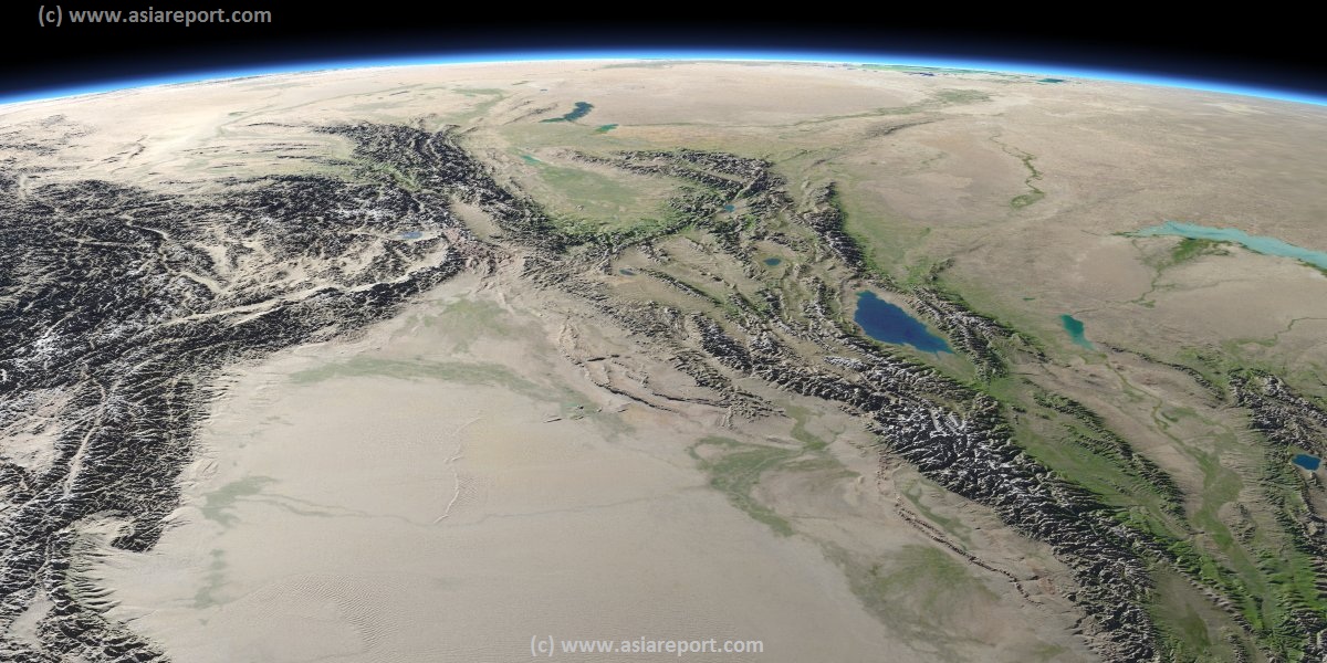
Introduction to China; West Xinjiang, North Pakistan, Afghanistan, Tajikistan, Kyrgyzstan, Russian Fed Image Map
2 Satellite Image based Maps of the Taklamakan Desert and the Tarim River Basin in Xinjiang-Uyghur Autonomous Region of Western China.
Maps give explanation and backgrounds to Local Geography, the Flow of the Tarim River from the Pamir Mountains in the West to Lop Nur (Dry) in the East, ancient Oasis Cities of the Tarim Basin and Taklamakan Desert, the North and South Routes of the Silk Road in this Area, Past and Current Climate and Historic Backgrounds.
