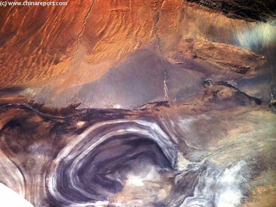
This Satellite Image Overview shows the Northern Lop Nor (former) Lake Basin and the inflow of its (former) feeding river, the Tarim River, via Kunqi River, into the Lake Basin.
The Lake Basin was dry on March 5Th, 1900 AD, when the Lake was reached by Swedish explorer Sven Hedin. He established it had been empty for at least 10 years at the Time. Hedin reached the Southern Basin (located to the South outside this Image), finally pinpointing the geographical location of this former Lake on the Eastern Edge of the Taklamakan Deserts in Far Western
China (P.R.C.). The Lake refilled for a number of years around 1912 AD, growing slowly from the centre, however, due to shifting of river beds by the Taklamakan Desert Sands and upstream industrial usage of water the Lake has been completely empty since at least 1930 AD. Hence, no villages or towns can be pinpointed on this Image.
Around a 1000 AD, however, this was a fertile Oasis and part of the Silk Road.

