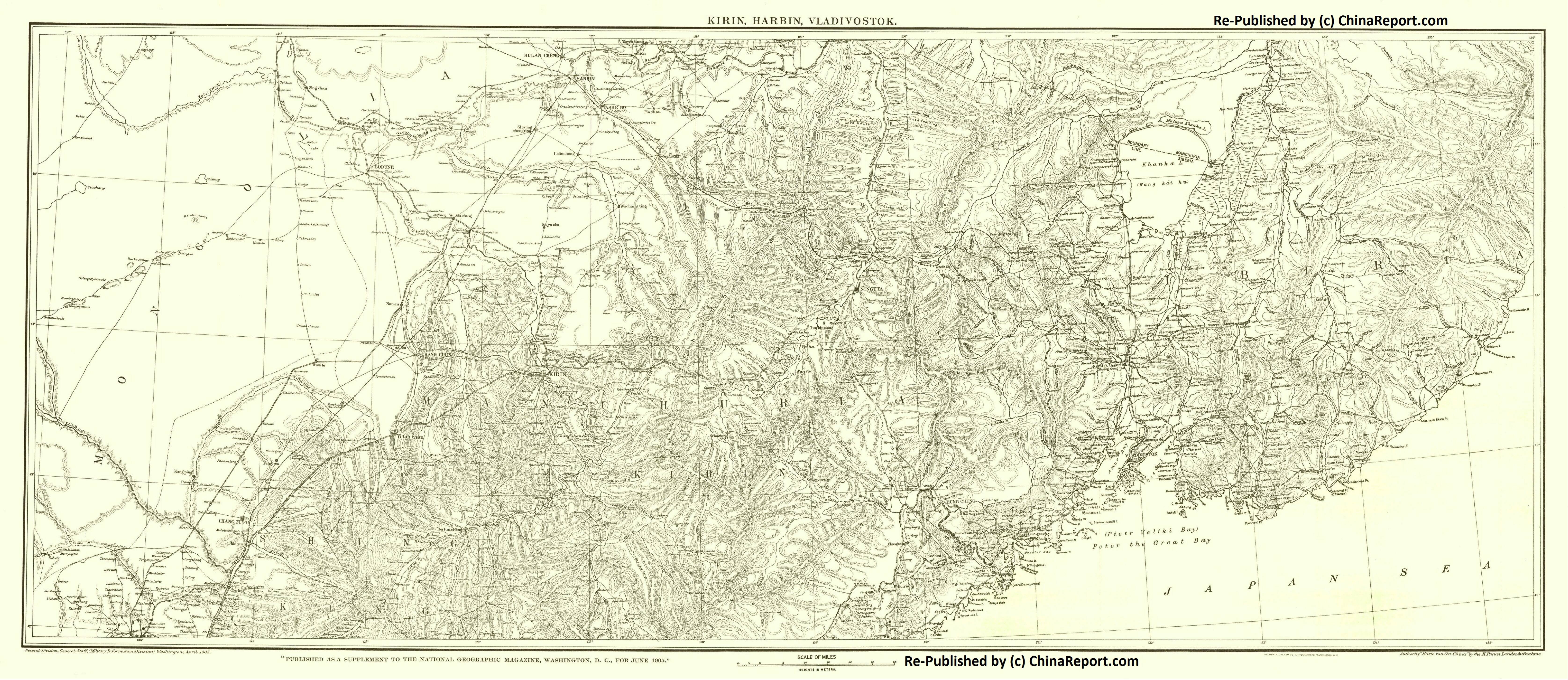
A Schematic overview Map of Jilin Province entire delineating provincial borders and parts of neighboring Inner Mongolia AR in the West, HeilongJiang Province in the North, the Russian Primorsky Krai Maritime Province to the East, North Korea in the East and South-East and finally Liaoning Province in the South-West. Map and description include Main Cities and Towns (shown by size), Main Monuments & Landmarks of Jilin Province, the Yanbian Korean Autonomous Prefecture on the borders with Russia and North Korea, Changbai Shan Naturese Reserve, Songhua Lake, Main Mountains (with Height), major highways, provincial railroads and main railroad-stations, and main waterways & rivers. This Map further provides links to on site photos and information on the Cities and Main Monuments.
