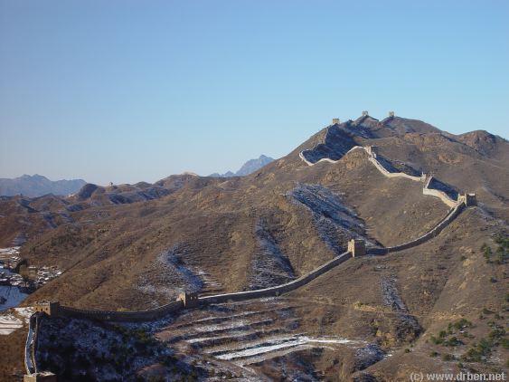
This wintertime Satellite Image gives a clear image overview of the Simatai Great Wall of China
Site due North-East of Beijing. Clearly visible running from the South to the North-West is the Simatai Pass through which runs a River (Icy in winter). The River is dammed where the Great
Wall of China crosses. In the East inside the Great Wall are farmlands of Simatai Village.
The Simatai Park Entrance lies at the south of the Site and is a considerable distance walking from the actual Great Wall entry point, the start of the steep climb uphill on the Great
the Simatai Ridge on the Last Simatai Great Wall Tower. The Eastern Wall Section
has been partially closed at its most impressive and dangerous point after a tourist
fatally plunged down along the
Cliff. The remaining part of the
Wall beyond this point is only one
brick wide.
The Western Section of the
Simatai Wall across the River is
accesible from the West.


